Web GIS Review Application
A browser-based GIS application for reviewing infrastructure layers, inspecting asset attributes, and tracking QA/QC issues through a simple web interface.
Tools Used




ArcGIS Experience Builder
ArcGIS Online

Hosted Feature Layers
Arcade
REST Services
-
Desktop GIS is effective for preparing and analyzing spatial data, but many project managers, reviewers, and non-GIS stakeholders need a simpler way to explore information and provide feedback.
I developed a browser-based ArcGIS Experience Builder application to move prepared infrastructure and QA/QC datasets into a more accessible review environment. The application allows users to explore infrastructure layers, inspect asset information, locate data-quality issues, and review supporting details without opening ArcGIS Pro.
The project uses public/open infrastructure data and simulated QA/QC records to demonstrate a representative project-review workflow.
-
Selected infrastructure and QA/QC layers were prepared for web use and published as hosted feature layers in ArcGIS Online.
The web map was configured with:
Simplified infrastructure symbology
Appropriate scale visibility
Clear layer names and organization
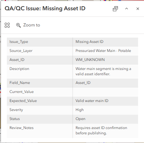
Configured asset and issue pop-ups
Searchable identifiers
Status- and severity-based symbols
Fields selected specifically for web review
Desktop-only fields and internal system information were hidden where they did not add value to the user experience.
This preparation ensures the application remains readable and responsive while preserving the information needed for project review.
-
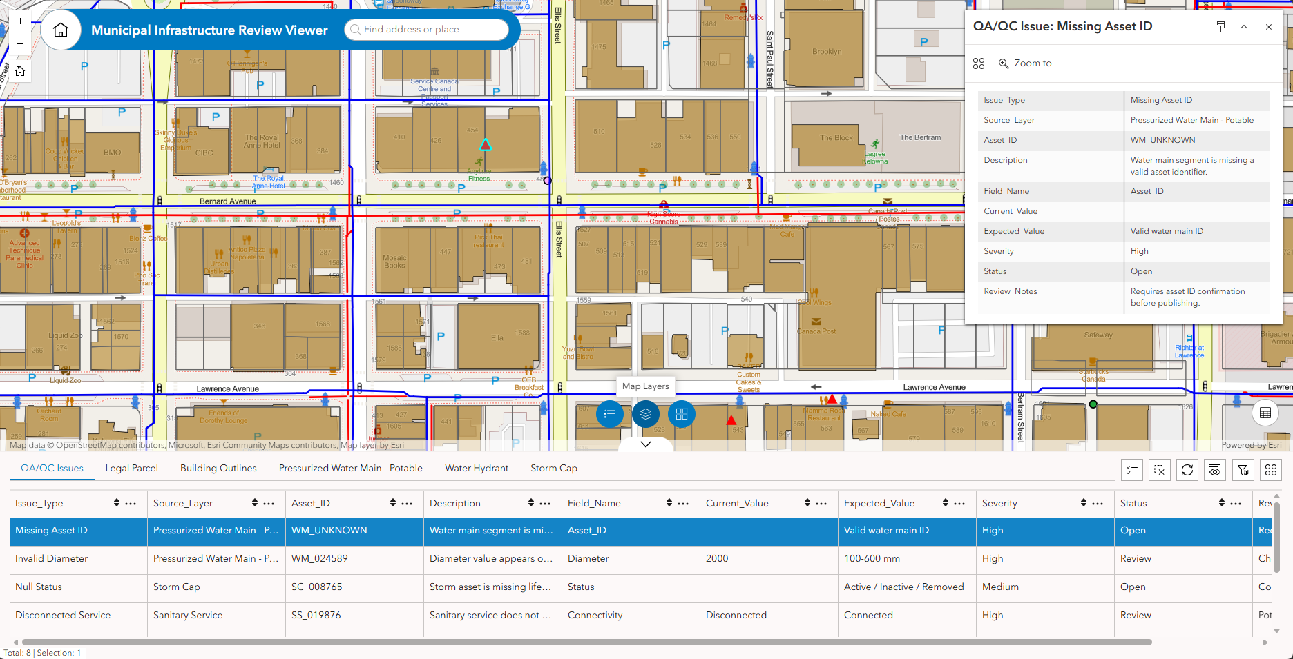
The Experience Builder interface combines an interactive map with tools that help users navigate and review the data.
Configured functionality includes:
Layer visibility controls
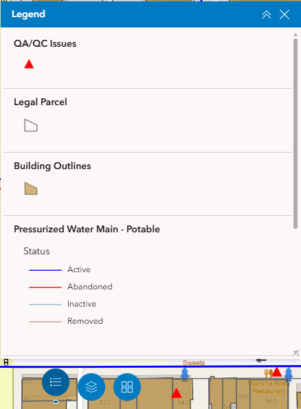
Legend
Search
Attribute and issue filters
Selectable features
Configured asset pop-ups
QA/QC issue details
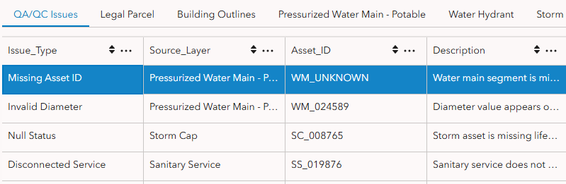
Review table
Feature-information panel
-
The web application supports a simple review process:
Open the project map and review available infrastructure layers.
Search for an asset, location, or issue identifier.
Select a feature to review its attributes and spatial context.
Filter QA/QC records by severity, status, or source dataset.
Review issue notes and supporting information.
Use the table and map together to understand where concerns are concentrated.
Communicate findings or recommended follow-up to the project team.
This structure makes GIS information easier to share across technical and non-technical users.
-
The completed application provides:
A browser-based infrastructure GIS viewer
Hosted feature layers configured for web use
A clear and responsive web map
Searchable asset and QA/QC records
Configured pop-ups and feature details
Layer, legend, search, and filtering controls
A review table linked to mapped issue locations
An accessible interface for project teams and stakeholders
The project demonstrates how desktop GIS outputs can be converted into an interactive review application that improves access to spatial information and supports clearer communication across project teams.