FME Spatial Data Automation Workflow
A repeatable spatial ETL workflow for cleaning, integrating, and standardizing multi-source GIS datasets for analysis, mapping, and reporting.

Tools Used

FME Form
FME Flow



ArcGIS Pro
SQL
Geodatabases
-
GIS projects often require information from several sources before meaningful analysis can begin. Parcel, assessment, tenure, transit, infrastructure, and environmental datasets may use different schemas, naming conventions, coordinate systems, and update schedules.
Manually cleaning and combining these datasets can be slow, difficult to repeat, and vulnerable to inconsistent processing. I developed this representative FME workflow to demonstrate how multi-source spatial data can be transformed into standardized, analysis-ready outputs through a controlled and repeatable ETL process.
The workflow is designed so source information can be replaced or updated without rebuilding the entire process manually.
-
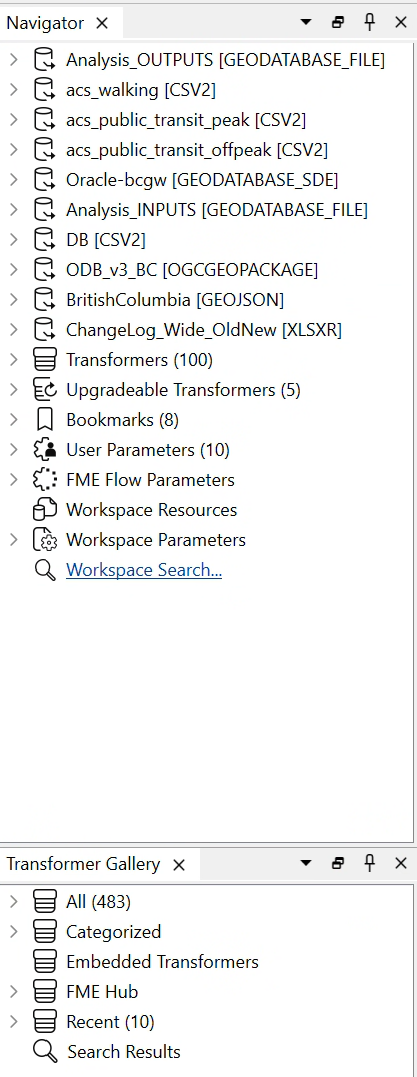
The workflow connects spatial and tabular datasets representing parcels, assessment information, land tenure, transportation access, and environmental context.
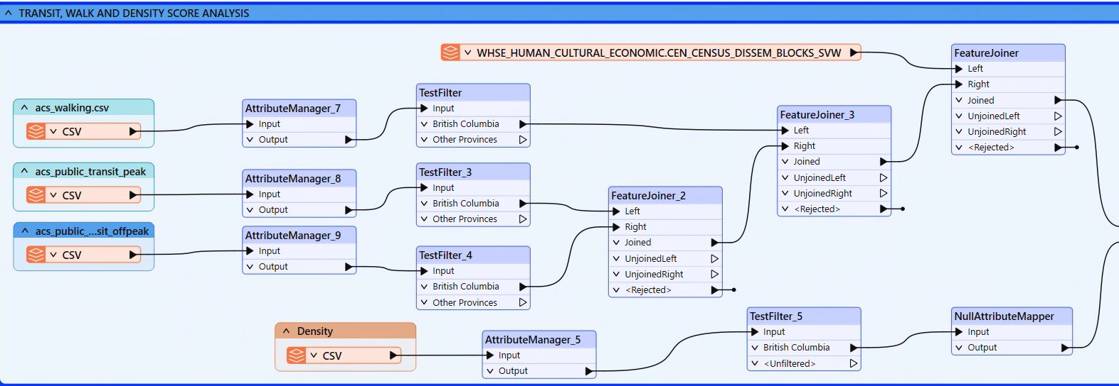
Initial processing prepares the data for integration by:
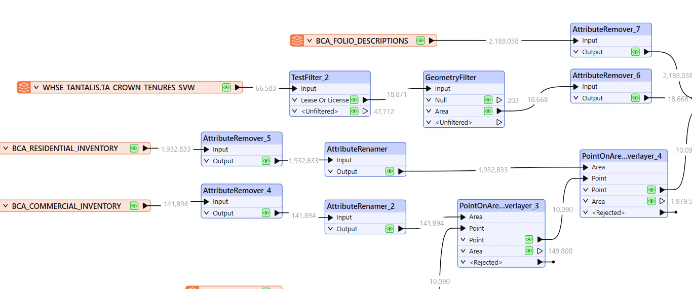
Removing unnecessary fields
Renaming and standardizing attributes
Converting field types where required
Filtering null, incomplete, or unusable records
Reviewing coordinate systems and spatial alignment
Identifying invalid or empty geometry
Standardizing values used across multiple sources
These early checks prevent inconsistent source information from being carried into the final analytical dataset.
-
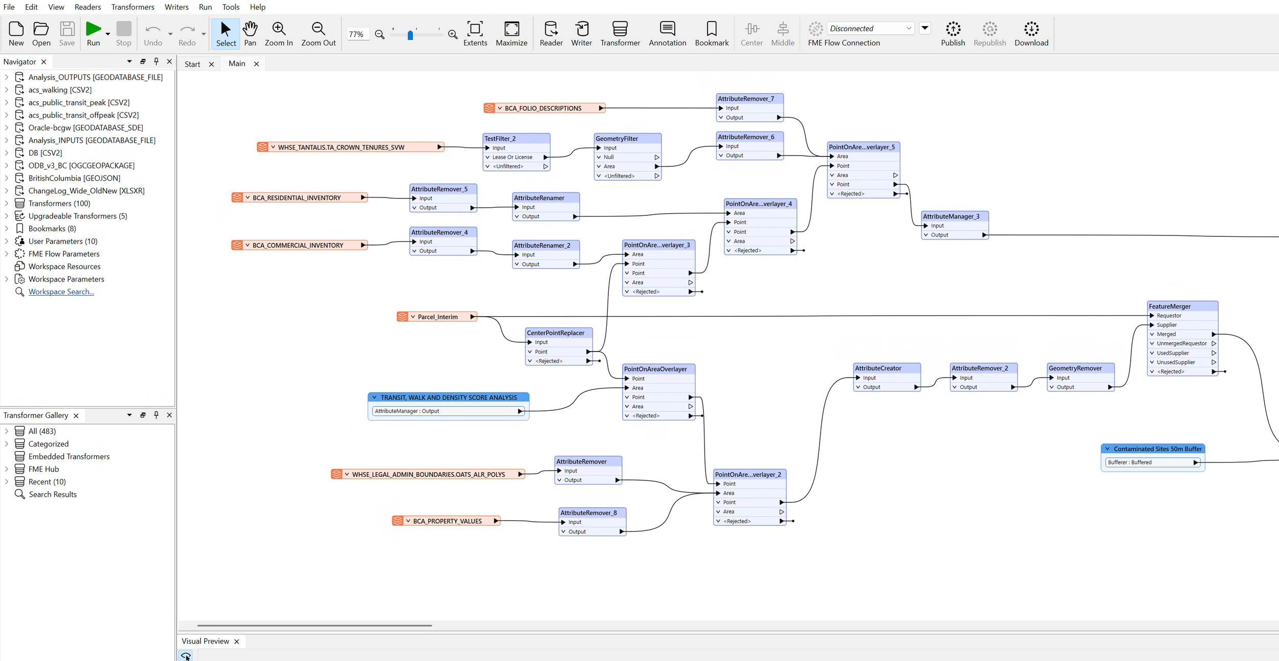
After the source datasets are cleaned, the workflow applies a series of spatial and attribute-based transformations.
The process includes:
Joining tabular information to spatial features
Overlaying parcels with area-based environmental or administrative layers
Transferring contextual attributes through spatial relationships
Filtering records according to project criteria
Merging compatible outputs from multiple branches
Creating calculated fields needed for analysis and reporting
Routing rejected or incomplete records for review
Standardizing the final schema before writing the outputs
Transformers are organized into logical sections so the workflow can be reviewed, maintained, and updated efficiently.
-
The completed workflow produces:
A repeatable FME spatial ETL workspace
Cleaned and standardized GIS layers
Integrated parcel and contextual information
Analysis-ready geodatabase outputs
Separate QA/QC or rejected-record outputs
Consistent fields and classifications
Data suitable for ArcGIS Pro, web GIS, dashboards, and reporting
A workflow that can be adapted for scheduled processing in FME Flow
The project demonstrates how spatial ETL can reduce manual processing, improve consistency, and make complex multi-source data easier to maintain and reuse.