CAD-to-GIS Infrastructure Integration & QA/QC
A practical CAD-to-GIS workflow for converting infrastructure drawing content into structured, review-ready GIS data. The project combines AutoCAD source review, ArcGIS Pro conversion, geodatabase organization, spatial QA/QC tracking, coded-value domains, and Python automation.
Tools Used



Python
Geodatabases
ArcGIS Pro
AutoCAD
-
CAD drawings are commonly prepared for engineering, surveying, construction, and design purposes, but their geometry, attributes, and layer organization are not always immediately suitable for GIS analysis or long-term data management.
I developed this demonstration workflow to show how infrastructure drawing content can be reviewed in AutoCAD, converted into geodatabase feature classes using ArcGIS Pro, and prepared for structured spatial review. The project uses representative CAD content and simulated QA/QC records to demonstrate the process without presenting the results as an engineering assessment.
-
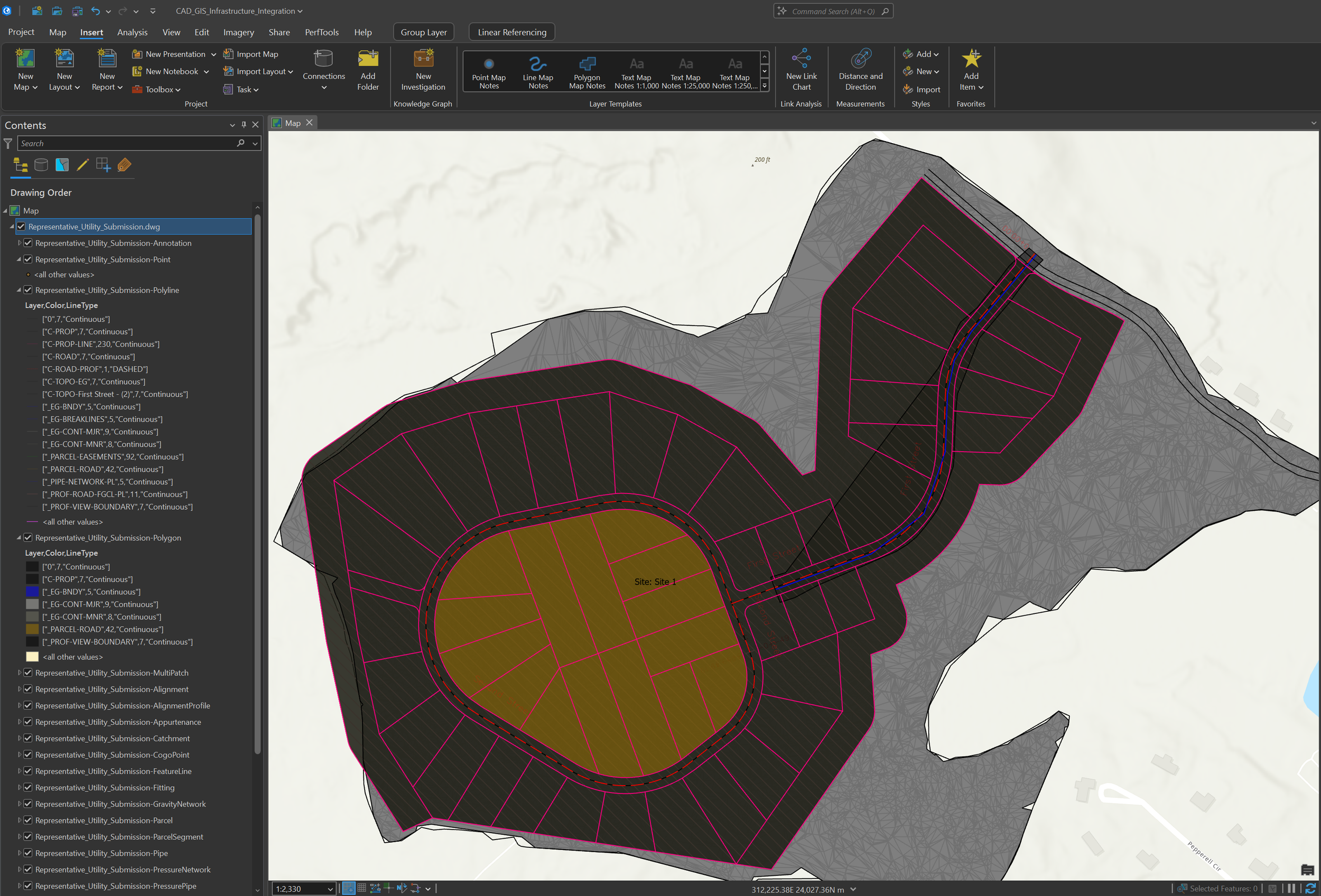
The project focused on transforming CAD content into structured GIS data rather than simply displaying the drawing in ArcGIS Pro. Converted points, polylines, polygons, and supporting CAD attributes were organized to support mapping, attribution, analysis, QA/QC, and future asset-management workflows.
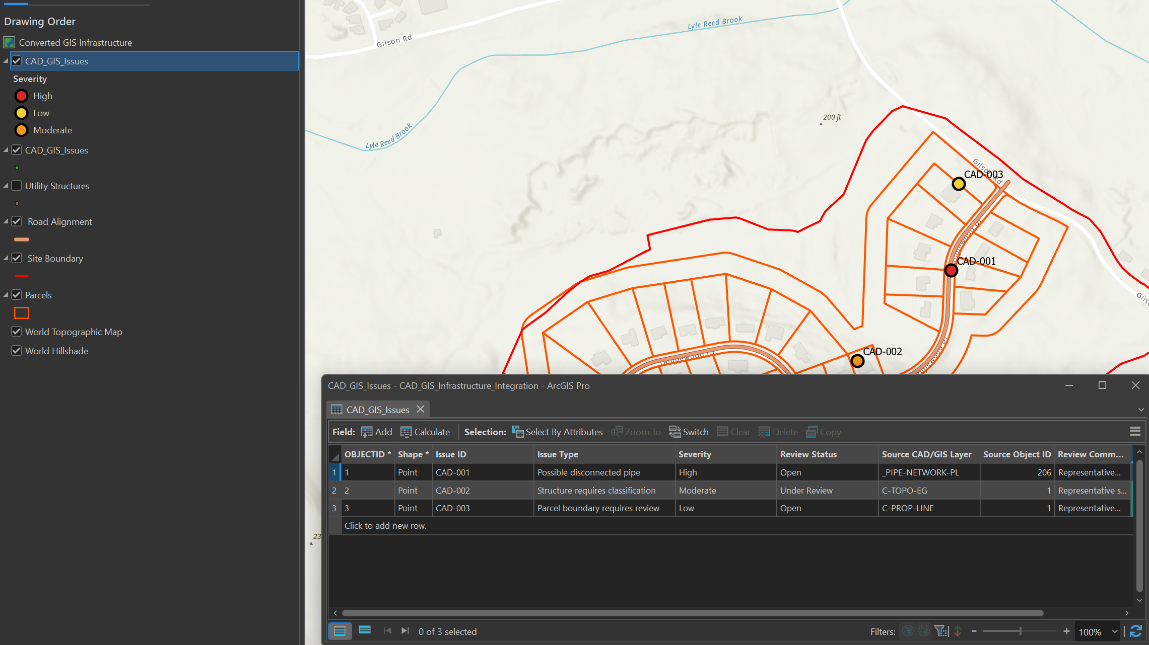
A dedicated QA/QC point feature class was created with standardized fields for issue ID, issue type, severity, review status, source layer, source object ID, comments, and creation date. Coded-value domains were applied to issue type, severity, and status fields to improve consistency and support structured review.
-
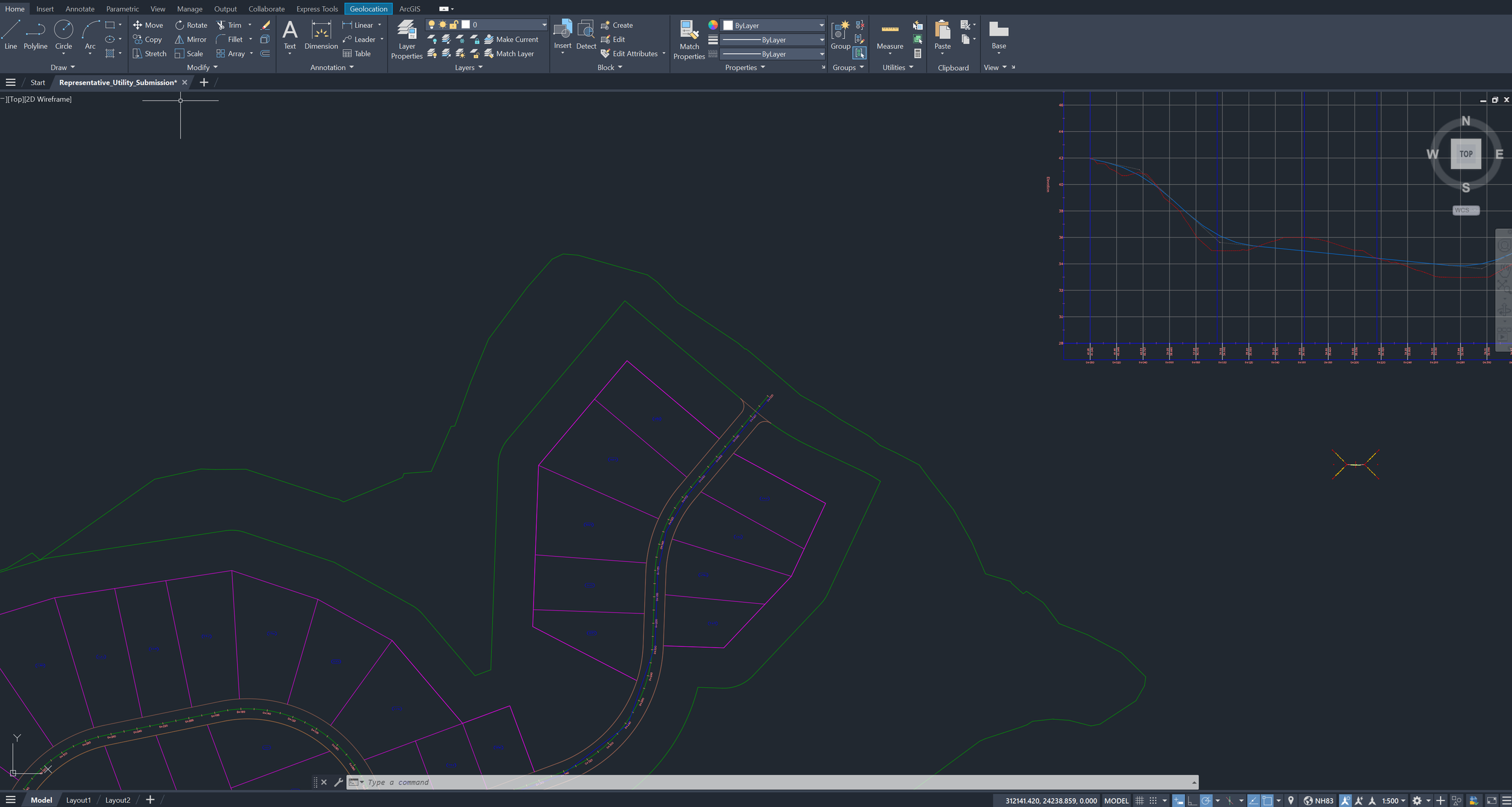
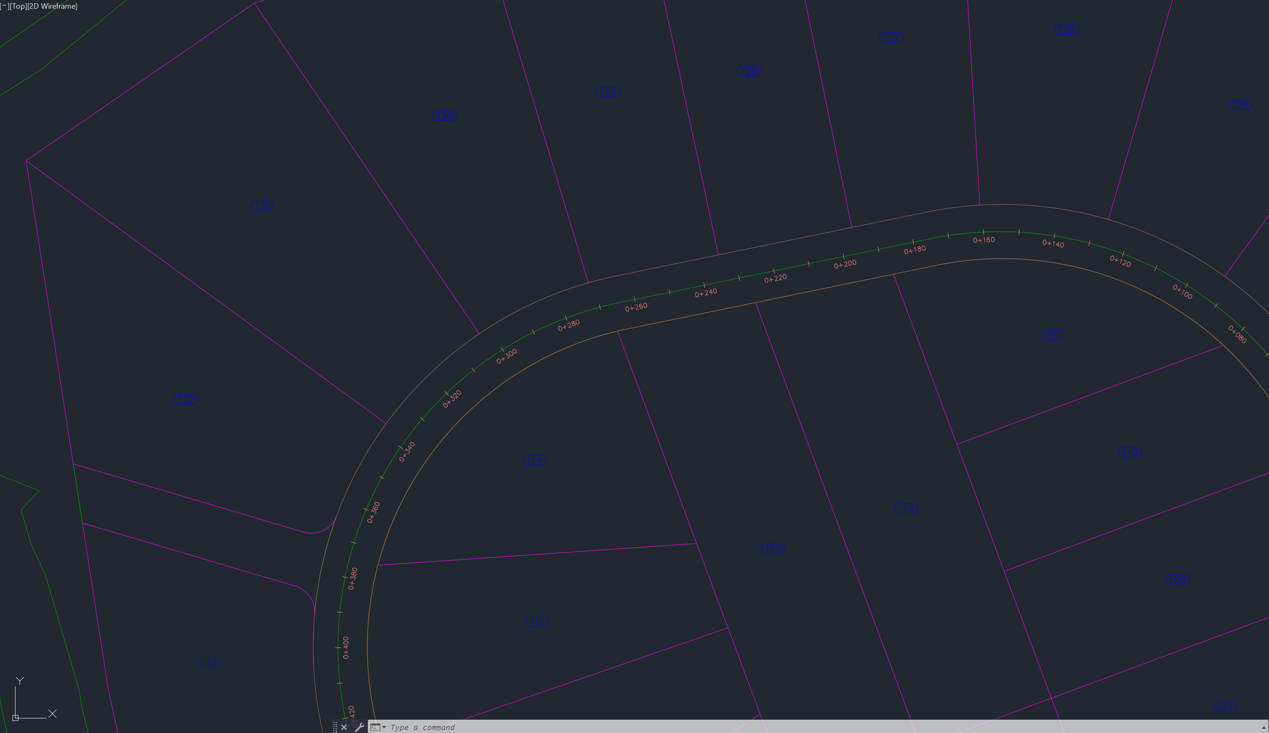
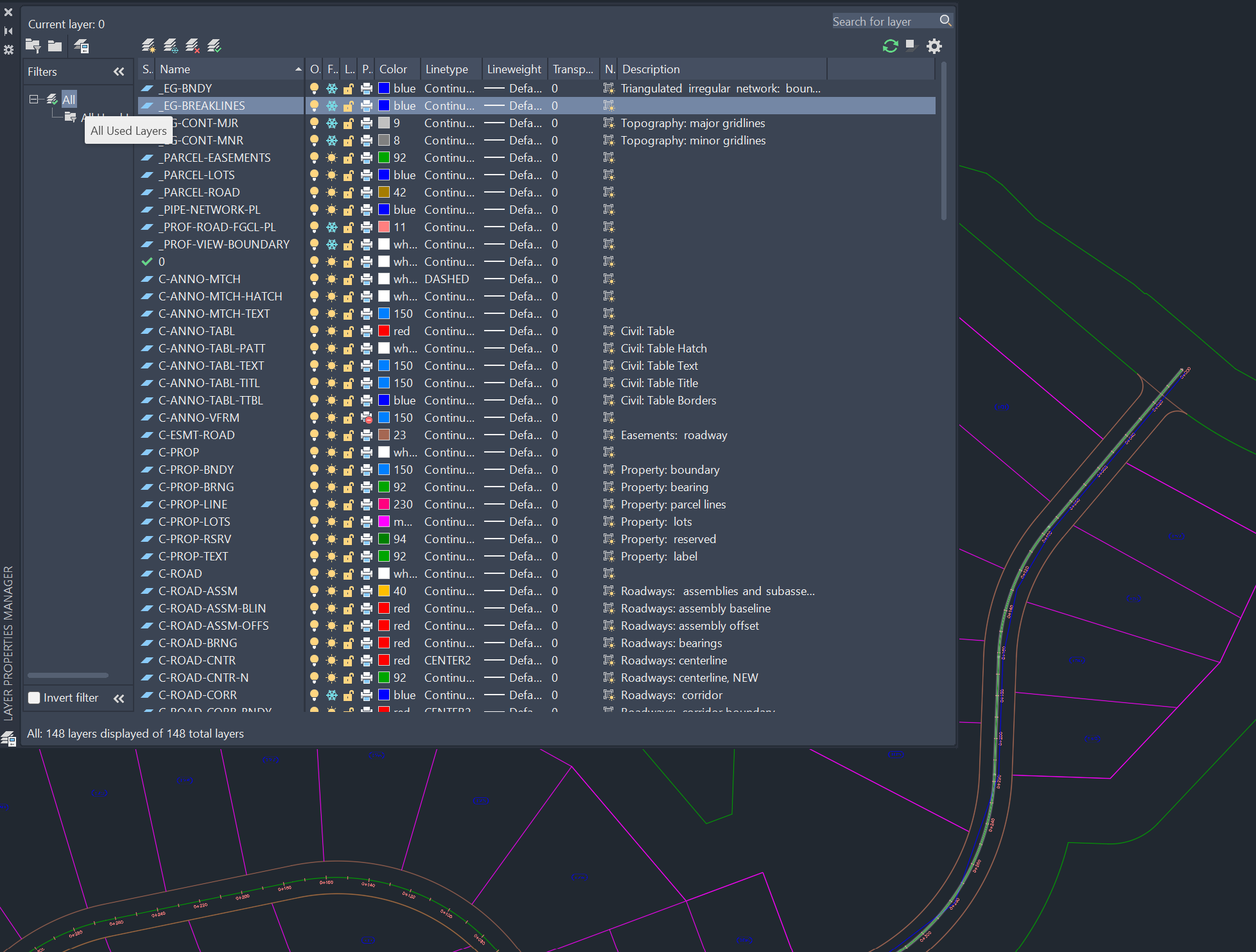
The source CAD drawing was reviewed in AutoCAD to understand its geometry, layer organization, spatial reference, and infrastructure content. It was then brought into ArcGIS Pro and converted into geodatabase feature classes, creating a structured foundation for attribution, validation, and analysis.
Python and ArcPy automated the QA/QC setup by inventorying populated CAD-derived feature classes, creating the issue layer, adding standardized fields and coded-value domains, inserting simulated review records, applying severity-based symbology and labels, and validating the final output. Three sample issues were included to illustrate how GIS can document potential utility-connectivity, structure-classification, and parcel-boundary concerns.
-
The completed workflow produced an organized geodatabase containing converted CAD content and a reusable spatial framework for recording and managing QA/QC observations. Review issues can be mapped, classified by type and severity, linked to source features, assigned a review status, and accompanied by explanatory comments.
The project demonstrates how design-oriented CAD files can be transformed into structured GIS data that supports infrastructure mapping, data review, asset-management preparation, development planning, web mapping, and communication between CAD and GIS teams.